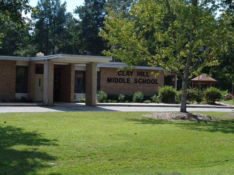
The teachers and students at Clay Hill Middle School are participating in the "Using the Environment as an Integrating Context for Learning (EIC)" School Network and Mark Musselman, Education Director, is a mentor.
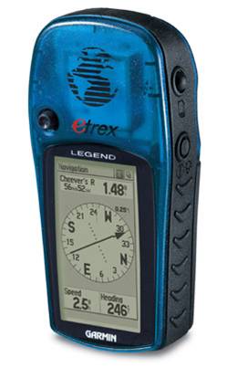
The South Carolina Geographic Alliance (SCGA), in conjunction with the education department at the Francis Beidler Forest, is developing a program to incorporate Global Positioning System (GPS) technology into South Carolina classrooms. Clay Hill Middle School is the model for the campus application. Today, the teachers used GPS receivers, provided by the SCGA, for the first time. Today's teacher orientation will be followed by the development of a practice GPS course on campus for students to hone their navigation skills. Next, students will move away from school and explore their community using lessons developed for GPS technology. Finally, students will visit and explore the Francis Beidler Forest with the GPS receiver as their guide.
For those with a GPS receiver, the coordinates for Clay Hill Middle School in Ridgeville, SC are: N33 05.571, W080 18.737
No comments:
Post a Comment